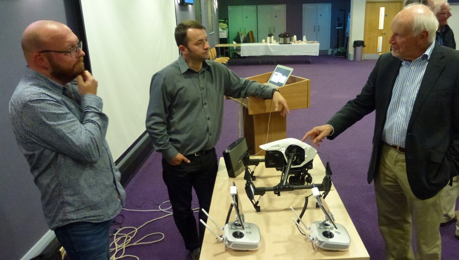
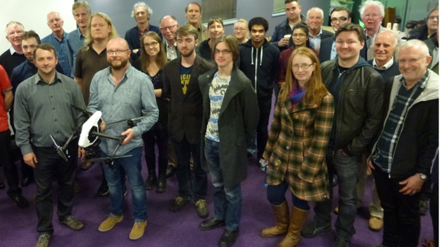
Ka-Boom’s Zach Willis and Phil Crothers demonstrated their company’s drones and cameras in front of an appreciative audience at a Northern Ireland Centre event at the end of September
The Belfast-based production services and post-production outfit has three drones with different camera systems. A show reel of aerial images shot over the past few years demonstrated the ability of drones to capture images of production quality.
Post-production producer Willis said that no post-production trickery had been required in the edit –the rock-steady images were obtained by cameras on board drones.
At the event, “Drones: the ultimate camera platform”, which was held at BBC Blackstaff, Belfast, the Ka-Boom producers explained the technical details of drone operation, including ceiling height and battery life. Drones can be flown with or without GPS.
Producer/director Crothers said Ka-Boom has used cameras that include the Zenmuse X3, X5 and X5R, which will shoot 4K raw video, on drones. The gimbal holding the camera to the drone was the key to the stability of shots, but he said a little bit of fine tuning was needed – a 5p coin strategically placed helped with overall stability.

Willis explained that the Civil Aviation Authority divides drones into two categories: below 7kg and from 7 to 20kg. Both systems can be single operator, with one person flying the drone and operating the camera at the same time, or dual operator.
If a drone is to be used for commercial purposes, it needs to be registered with the CAA and insured. The CAA also has rules and regulations, which must be followed by all drone operators, even those flying non-commercially. These include: a 400-ft ceiling height and a maximum distance of 500 metres (or line of sight).
Detailed risk assessment is carried out, including the possibility of asking the police to close roads. The weather is a major factor in flying drones and is part of any risk assessment.
The Ka-Boom duo explained that drones have uses other than for television and film, including aerial photography and 3D mapping. Willis said the company had been involved in taking aerial stills of a U-boat sunk off the coast. Images were taken using the drone and 3D interactive maps were then created from the stills.


